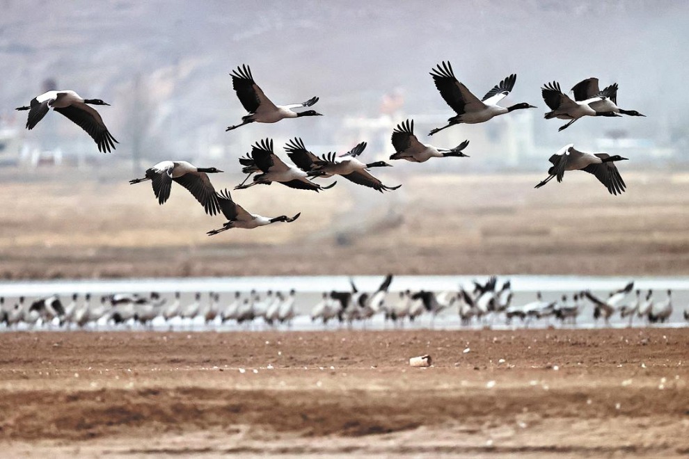
Ningxia and its close relationship with Yellow River


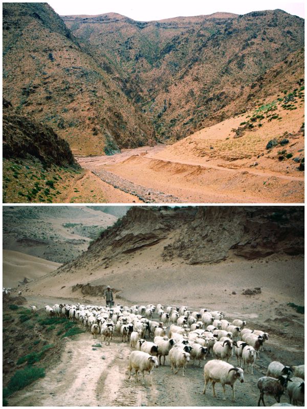
Highway G2012 enters northwestern Ningxia along a narrow corridor of land between Inner Mongolia to the north and Gansu to the south. The terrain mostly gravelly or sandy desert, population almost non-existent. The road lies well back from the Yellow River where sheer physical geography would make highway construction almost impossible. At an isolated junction a sign pointed south to Yiwanquancun. The jeep I was in veered onto a gravel, rocky track only passable at that time by strong 4-wheel drive SUVs. Flocks of sheep and goats were herded along the track but for over an hour descending deeper and deeper down an often steep-sided ravine, at times following narrow ledges, no other vehicles passed. An isolated house, possibly of a shepherd, was the only sign of settlement.
The route followed a dry river valley gradually opening out to patches of irrigated cultivation. We were approaching Beichangtan, an adobe-walled village sitting above an earthen river cliff enclosed within a steep-sided canyon where the Yellow River pushed through. On the far bank was a crumbling section of the Great Wall. It was near that village that I was to see one of the last operational wooden water wheels along the Yellow River. Such devices have operated since the Han Dynasty, lifting water from channels feeding from the river, passing the flow into higher aqueducts feeding towards the fields. Without such intermediate technology life along the valley would have been virtually impossible. Today mechanized pumps mostly transfer the waters.