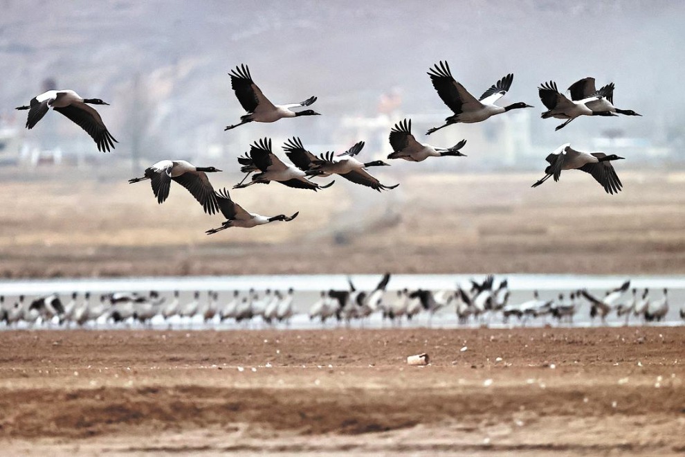
Ningxia and its close relationship with Yellow River


Reaching Shapatou village and the river banks was one of those great “child-like” experiences for although a road led down from Provincial Highway 201 I opted to walk or more precisely jump down the sand slopes with great whoops of joy at every leap!
It was the coming of the railway that saw an end to the rafts for Shapatou was set to be at the heart of one of China’s great railway engineering achievements. The main highway skirts along the crest of sand hills above a great meander on the Yellow River. Parallel is the railway from Baotou to Lanzhou. In the 1950’s railway building was essential for unifying a country as vast as China. However the terrain at Shapatou was initially viewed as impossible for such construction as this is where the vast dunes of the Tengger Desert encroached right up to the river. Somehow the railway after following the wide, flat valley from Yinchuan to Zhongwei had to go up and over the sands. Sand, of course, could easily be blown across the tracks. In 1956 the Shapatou Desert Research Centre was established. Their resulting solution was to dig small squares of straw into the dunes with drought resistant bushes being incorporated into the resultant chequer board pattern. A slow process but eventually several thousand hectares of moving sand was reclaimed creating a long green passageway for the railway. A few kilometers west of Shapatou the tracks climbs in a series of great horseshoe bends, a magnificent sight in the days of steam hauled trains with smoke belching as they wound their way up the slopes.