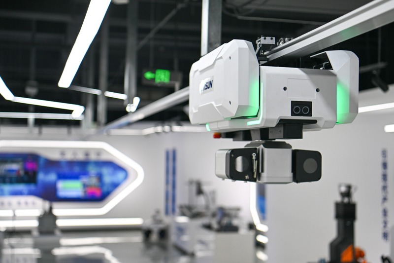
Mapping goes high-def


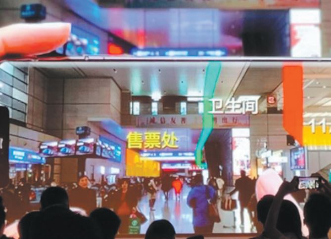
Luo predicted that Cyberverse, the VR mapping platform, will be used in public places including tourist attractions, museums, smart campuses, airports and high-speed railway stations.
"It will be available at 100 sites by the end of the second quarter of 2020, and at 1,000 sites by the end of next year."
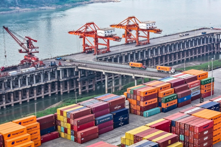
Tech industry insiders said Huawei's entry into the mapping sector marks a broader trend in China. Leading internet firms, tech giants, traditional vehicle manufacturers, they said, are all itching to beef up their presence in the high-definition mapping sector.
"High-definition maps" refers to electronic maps with higher precision and more data dimensions. With an accuracy detailed in centimeters, such maps are able to connect people, objects and surrounding environment to act as "live maps".
On Aug 30, the Shenzhen-based firm also inked a strategic cooperation agreement with the Land Satellite Remote Sensing Application Center affiliated to the Ministry of Natural Resources. The two sides will cooperate to improve remote sensing, a key driver of high-definition mapping services.
"For Huawei, the move is part of its accelerated push to build a more robust mobile app ecosystem to boost its businesses," said Xiang Ligang, director-general of the Information Consumption Alliance, a telecom industry association.
Xiang noted that Huawei unveiled its in-house mobile phone operating system HarmonyOS last month. There is a pressing need for the company to attract more software developers to make apps for the system.
"It is also Huawei's efforts to offset the impact of the US ban on using Google Maps in its overseas smartphones," he said.